
Direction 01
A fisher’s trip companion: potential-fishing-zone advisories, sea state, fuel-optimal routes and safe-return windows in Tamil
Sustainable Development Goal 14 / 17
Conserve and sustainably use the oceans, seas and marine resources. For builders: tools that support sustainable fishing livelihoods, track coastal health and reduce the plastic flowing seaward.
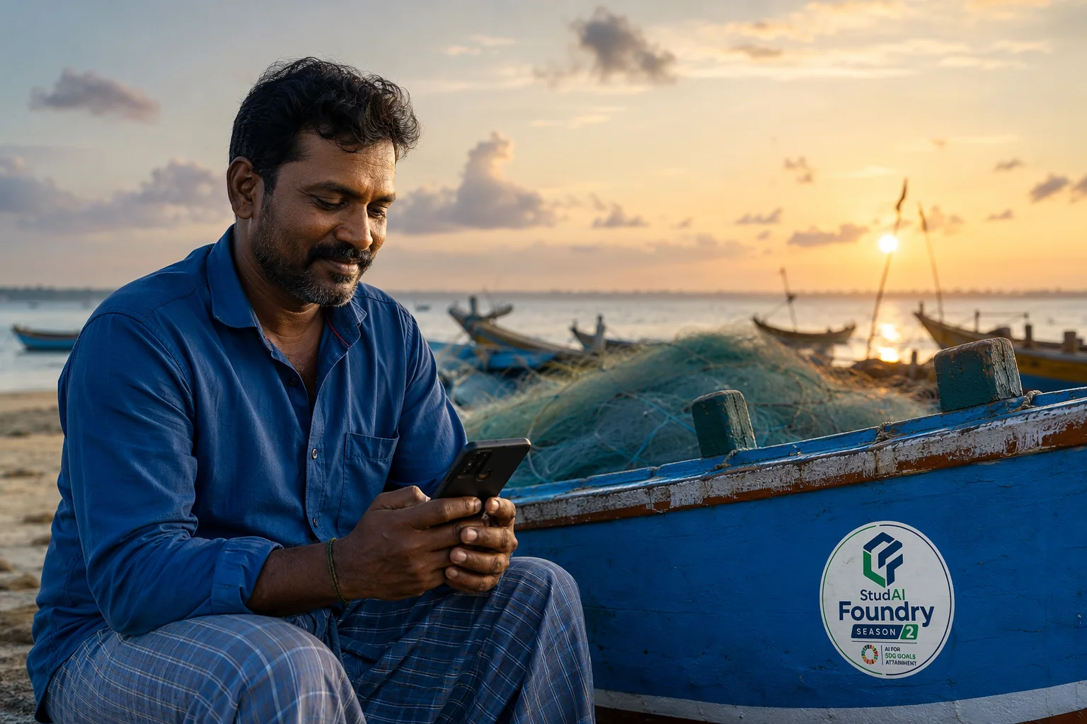
Ocean health and coastal livelihoods are the same problem. Fish stocks decline where data is absent; plastic enters the sea through rivers and drains that no one measures; coastal ecosystems that protect shorelines degrade invisibly. Marine problems are hard precisely because observation is expensive — which is why software that multiplies observation matters.
India’s coastline supports millions of fishing livelihoods, mostly small-scale and increasingly pressured by stock changes, fuel costs and weather volatility. India is also a significant contributor to and victim of marine plastic flows. Institutional science — CMFRI, INCOIS — is strong; the gap is the bridge between institutional knowledge and daily coastal decisions.
From Chennai’s Kasimedu harbour to Rameswaram and the Gulf of Mannar — India’s first marine biosphere reserve — Tamil Nadu’s coast spans intense fishing economies and globally significant ecosystems. Post-tsunami and post-cyclone resilience, seaweed farming as an emerging livelihood, and the Palk Bay’s fishing-boundary pressures all give builders real, local marine problems.
The AI Lens
Build Directions
Starting points, not prescriptions — the strongest submissions narrow one of these into a specific, evidenced local problem.
Direction 01
A fisher’s trip companion: potential-fishing-zone advisories, sea state, fuel-optimal routes and safe-return windows in Tamil
Direction 02
A harbour catch-log that photographs the day’s landing and builds an anonymised species-trend picture with the community’s consent
Direction 03
A coastal-watch tool that compares monthly drone or phone imagery of a beach segment for erosion and dune change
Direction 04
A landing-centre price board that makes daily prices transparent across nearby harbours
Anchor your team in this goal, define one real problem, and start the three-lock journey.
View Season 2