Direction 01
A corridor-alert network for Western Ghats villages: verified elephant sightings propagate along movement paths with SMS fallback
Sustainable Development Goal 15 / 17
Protect, restore and promote sustainable use of terrestrial ecosystems. For builders: tools that watch forests, reduce human-wildlife conflict and support the people restoring degraded land.
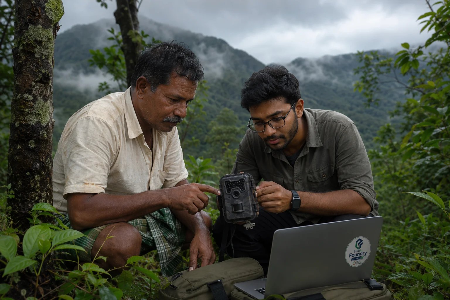
Terrestrial ecosystems fail quietly and locally — a wetland filled here, a corridor fenced there — long before the losses aggregate into headlines. The people best placed to notice are local: farmers, forest-fringe villages, restoration volunteers. Tools that let local observation accumulate into credible evidence change what can be protected.
India packs megadiverse ecosystems and 1.4 billion people into the same landscapes, making human-wildlife coexistence a daily negotiation rather than a wilderness ideal. Elephant, leopard and blackbuck conflict, degraded commons awaiting restoration, and urban biodiversity under construction pressure all define the Indian version of this goal.
The Western Ghats along Tamil Nadu’s western edge are a global biodiversity hotspot with active elephant corridors running through farm and estate country; crop damage and fatal encounters are a lived reality in western districts. Chennai’s Pallikaranai marsh shows the urban-wetland fight; sacred groves and eri commons show restoration potential statewide.
The AI Lens
Build Directions
Starting points, not prescriptions — the strongest submissions narrow one of these into a specific, evidenced local problem.
Direction 01
A corridor-alert network for Western Ghats villages: verified elephant sightings propagate along movement paths with SMS fallback
Direction 02
A wetland sentinel that flags fill-and-build encroachment on urban lakes from open satellite imagery
Direction 03
A restoration diary for volunteer groups: geo-anchored repeat photos scored for green-cover change
Direction 04
An acoustic bird-survey tool that lets any campus run a standing biodiversity baseline
Anchor your team in this goal, define one real problem, and start the three-lock journey.
View Season 2